


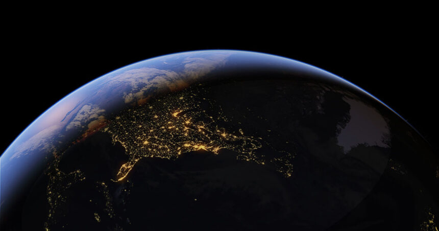
A flooded Capitol. A collapsed Eiffel Tower. Russian tanks in Kyiv. None of it happened — but the tool made it look photorealistic, geotagged to real coordinates, and the watermark meant to catch AI fakes could be bypassed. Google killed the feature in under 24 hours.
Google launched a Gemini-powered image generator inside Google Earth on 30 July, letting users type a text prompt to reimagine any location on the platform. The online search leader pulled the feature the following day, less than 24 hours after launch. Researchers demonstrated the tool could fabricate photorealistic satellite imagery of nuclear facilities, war damage, and refugee camps. All images could be anchored to real geographic coordinates. Additionally, Google’s own SynthID watermark, designed to flag the images as AI-generated, could be bypassed in some cases, according to BBC Verify testing.
What’s Happening & Why It Matters
What Users Made

The feature, built on Google’s Nano Banana image model, let users generate fabricated scenes that looked real. Reported examples include an explosion crater in Los Angeles, a flooded US Capitol, a fire on Iran’s Kharg Island, a collapsed Eiffel Tower, a sinkhole at the Great Pyramid of Giza, and Russian tanks in Kyiv. None of those events happened. Each image carried the geographic authority of a platform users have relied on for two decades to verify what’s real.
NPR generated its own test images, including flooding in Washington and fires at an Iranian oil terminal, to demonstrate the tool’s reach. Investigative journalist Henk van Ess, who first flagged the risk, called the design choice baffling from a trust and safety standpoint. Bellingcat researcher Jake Godin called out the concern: “It’s just streamlining the process, which I think is going to make it proliferate more.”
The Dangerous Precedent
Fabricated satellite imagery already circulated before Google’s tool existed, just through a slower, harder process. During the earlier US-Israel conflict with Iran, Iran’s state-aligned Tehran Times published a fake “before and after” image falsely showing destruction at a US naval base in Bahrain. That fabrication started from a real Google Earth capture, required separate editing software, and took multiple steps to assemble. Nevertheless, it still gathered millions of views before anyone debunked it.
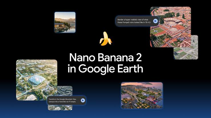
Google’s feature collapsed that entire multi-step workflow into a single text prompt. Godin raised a second, subtler risk. The mere existence of a tool with similar capabilities gives bad actors plausible deniability. Because of this, governments and propagandists can claim that authentic satellite imagery of a real event was AI-generated. This muddies the evidentiary value of genuine documentation alongside the fake.
An Insufficient Watermark
Google embedded SynthID watermarks in every generated image, designed to flag them as artificial when checked through the Gemini app or Google Lens. BBC Verify testing found the check could be circumvented in some cases. External AI detection tools also failed to identify certain fabricated images correctly. A watermark that can be bypassed provides false confidence rather than real protection, the failure mode critics warned about before launch.
Google’s own statement acknowledged the specific trust at stake: “We know that people uniquely trust Google Earth for a reliable view of the world.” The company added it takes misinformation seriously and updates its protections, without offering a timeline for when the feature might return.
TF Summary: What’s Next
Google has pledged to reinstate the feature only after building stronger guardrails, with no confirmed timeline. Previously generated AI images inside Google Earth are accessible even after the rollback. Google has not detailed what specific technical changes would need to happen before relaunch. BBC Verify’s watermark bypass findings are unaddressed.
MY FORECAST: Google won’t relaunch the feature soon, and when it does, expect geofencing around sensitive locations — military installations, nuclear sites, active conflict zones — rather than relying on watermarking alone. A watermark that can be defeated after the fact does nothing to stop the initial spread of a convincing fake. The only real fix sits upstream, at generation time. In addition, expect other platforms building location-anchored AI image tools, including Apple Maps and Microsoft’s Bing Maps, to study the rollback before shipping anything comparable. The lesson here isn’t that AI image generation is dangerous. Instead, it’s that pairing generative AI with geographic authority requires guardrails Google hadn’t finished building before launch.
Related Stories
- Meta’s Muse Image Consent Backlash
- Google Images Turns 25 — and Gets AI Image Generation as a Birthday Gift
- UN’s AI Child Safety Pledge — Guterres Calls for Accountability in Geneva